
Crested Butte & Mount Crested Butte
Trails
Photo by coloradorealestatedirectory.com
Crested Butte Trails by Travel Crested Butte
Crested Butte Trails by Travel Crested Butte


Crested Butte Trails: Red Lady Mountain 4K
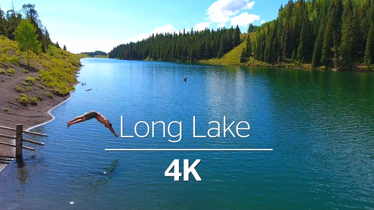
Crested Butte Hikes: Long Lake 4K

Crested Butte Hikes: Blue Lake 4K

Crested Butte Trails: Brush Creek 4K

Mount Crested Butte Summit Hike

Upper Upper Trail - Crested Butte, Colorado

Strand Hill - Crested Butte, Colorado

Snodgrass Trail - Crested Butte, Colorado

Trail Guide
Difficulty Key
Easy
Good for families with small children, elderly or those with a short time frame.
Moderate
Good for longer hikes and those looking for a more strenuous experience. Best for people with good physical conditioning.
Difficult
Good for more serious hikers with appropriate equipment and excellent physical conditioning. May involve technical skills or scrambling. Generally not recommended for those under 14 years old.
Things to Know
Before You Go
Crested Butte Summit Trail
Moderate - Difficult
1.25 miles
Access: Park in the visitors parking area at Crested Butte Mountain Resort. There is a kiosk where maps can be obtained. Tickets are available at the Ski area ticket office or Eflin Sports in the Treasury Center. Follow a walkway to the Silver Queen Chairlift, which will take you to the trailhead.
The trail is well marked and will take you to the summit of Crested Butte Mountain through tall timber, across tundra and up a boulderfield at the end. There are spectacular views in all directions from the summit. Your return is a hike down the mountain (about 6 miles) or a ride down the chairlift.
Snodgrass Trail
Moderate
3 miles (Trail closed for grazing in late August, please read posted signs)
Access: Travel 2 miles past the ski area at Mt. Crested Butte on Gothic Road. The trailhead is on the left side of Gothic Road.
At the trailhead, cross over the fence on Snodgrass Road. At approximately 0.5 miles, the trail intersects with a road. Turn left and follow the trail west to the Washington Gulch Road. This trail takes you through fields of wildflowers and in and out of aspen and pine groves. There are beautiful views of Crested Butte Mountain along the way. Watch for “stop sign” closures.
Upper Loop Trail
Easy - Moderate
3.4 miles
Access: From Mt. Crested Butte, travel east then south on the Hunter Hill Road for 1 mile. The trailhead is marked at the switchback. Parking is limited.
The trail descends to the Skyland subdivision at the Crested Butte Country Club through meadows and aspen trees. There are fence crossings. At approximately 1.5 miles, you will have several trail choices. To travel to Crested Butte, take the first right on the McCormick Ranch Trail. To travel to the Country Club, Stay on the Upper Loop Trail. To travel to Brush Creek Road, turn left onto the Upper Upper Loop Trail.
Oh Be Joyful Trail
Easy - Moderate
5.8 miles (out and back, so you can hike as much or as little as you like)
Access: From Crested Butte, travel north on Gothic Road and take a left on Slate River Road just outside of Crested Butte. Drive 4.5 miles on the well-maintained dirt road and look for the Oh-Be-Joyful Campground turn-off on your left. Drive 0.5 miles to the campground at the bottom of the hill. If your vehicle has enough clearance and the waters are not too high, you may want to park on the other side of the river. During the snowmelt season the water crossing can be much higher in the afternoon.
This trail follows an old mining road up above the side of Oh Be Joyful Creek, climbing fairly steeply for a brief time. Once you reach the overlook of the large slide follow the trail instead of the road. You’ll be rewarded with several large waterfalls and slides for about ¾ mile. Once it starts to flatten out you’ll cross the wilderness boundary. You can continue up the valley following the trail as far as the base of Daisy Pass or Blue Lake before turning around to return to the Oh Be Joyful Campground. For those looking for more adventure, there are numerous ways to extend your hike’s mileage and elevation gain. Summitting Daisy Pass and descending into Pittsburg is popular with locals, but does require two vehicles or the willingness to road walk. Make doubly sure to have a good topographic map before attempting one of the loops from the Oh Be Joyful Trail.
Upper Upper Loop Trail
Moderate - Difficult
2.2 miles
Access: From Mt. Crested Butte, travel east then south on the Hunter Hill Road for 1 mile. The trailhead is marked at the switchback. Parking is limited.
The trail descends to the Skyland subdivision at the Crested Butte Country Club through meadows and aspen trees. At approximately 1.5 miles, turn left onto the Upper Upper Loop Trail. (You will encounter a spur to your right that is rated intermediate and is a nice hike). The trail ends at Brush Creek Road on the Southern side of Crested Butte Mountain. Turn right to return to town.
Lower Loop Trail
Easy
ADA accessible for 1 mile – 2.5 miles
Access: From Crested Butte, travel north on 1st street then west on Butte Avenue. Butte Avenue turns into Peanut Lake Road. Continue past Peanut Lake and park at the fence line before reaching Peanut mine.
The trailhead is across the road from Peanut Mine and for the 1st mile is on private land (please stay on the trail). Once on BLM lands, two single-track trails continue northwest until ending at the Gunsight Pass Road. To return, travel east on the road, then southeast on the Slate River Road. Finally, turn south on Gothic Road.
Crested Butte/Mt. Crested Butte Recreation Path
Moderate
2.75 miles (2 miles are ADA accessible)
Access: Park at the Crested Butte Mountain Resort parking lot. The trail starts at this parking lot heading back towards Crested Butte.
The trail follows Gothic Road for the first 3/4 mile, crossing the road twice. The remaining 2 miles wind through meadows. The end of the trail is still under construction. When you get to the barricade, signs will direct you onto a single track dirt path out to Gothic Road. You may continue your hike on the shoulder of Gothic Road into Crested Butte. There is a shuttle that can take you back up to the parking lot.
Green Lake Trail
Easy
4 miles
Access: Park in the Town of Crested Butte, near the Crested Butte Nordic Center at 2nd Ave. and Whiterock. The trail begins near the Nordic Center.
This trail provides a more aggressive and longer trail from Crested Butte, and proceeds through private property during some of its length, so remaining on the marked trail is a requirement. The trail ends at Green Lake, with the return trip a back-track back into Crested Butte.
West Maroon Pass (Crested Butte to Aspen)
Moderate
24 miles RT
Access: Drive from Crested Butte to Schofield Pass and into Schofield Park (about 13 miles). This road can be a challenging drive and may require a high clearance vehicle. Local transportation providers offer shuttle services to the trailhead. The trail (#1970) begins at approx 10,400 feet. Once on the Aspen side a free shuttle can drive you to Aspen from Maroon Lake.
The trip from Crested Butte to Aspen is one of the more popular hikes in our area. The route is well signed. Plan about 3 hours to the Pass and another 2 to the lake for those in good shape. The total elevation gain is 1,450 feet. The hike to the pass and back is a splendid hike with fewer logistics than the through hike.
OVERNIGHT CONSIDERATIONS:
By far the easiest one-way hike to Aspen can be done as an out and back IF you plan an overnight in Aspen. You can return via the same trail the next day. Another option is to pre-arrange a car to be dropped in Aspen. This can be a fun way if you know another group who plans to hike the opposite direction… Hiking from Aspen to Crested Butte as a one-way hike can also be arranged, but the shuttle is not as easy.
Regardless of the popularity of this hike, it is not to be taken lightly and can have snow well into June and July.